A week-long loop of the Eyre Peninsula — down the calm east coast, around the wild south, and back up the surf-and-sea-lion west coast.
The Eyre Peninsula is shaped like a great triangle pointing into the Southern Ocean, and the classic way to see it is to drive right around the edge. Give yourself a week if you can; there's far more here than you expect.
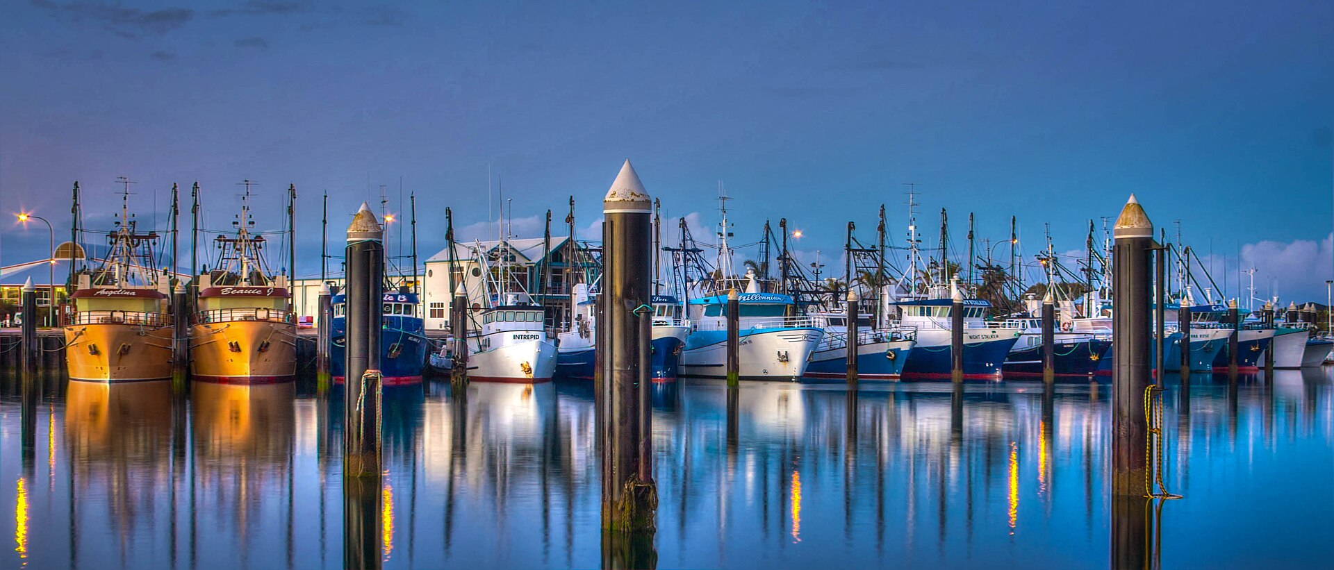
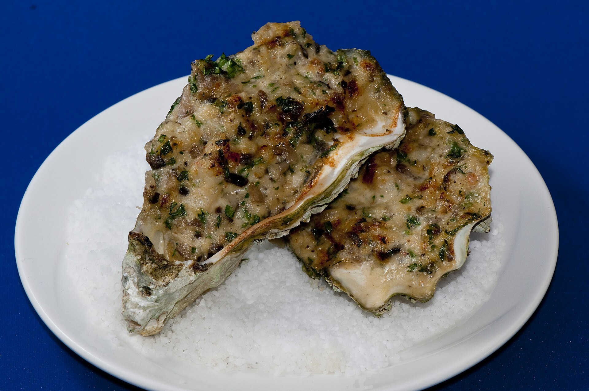
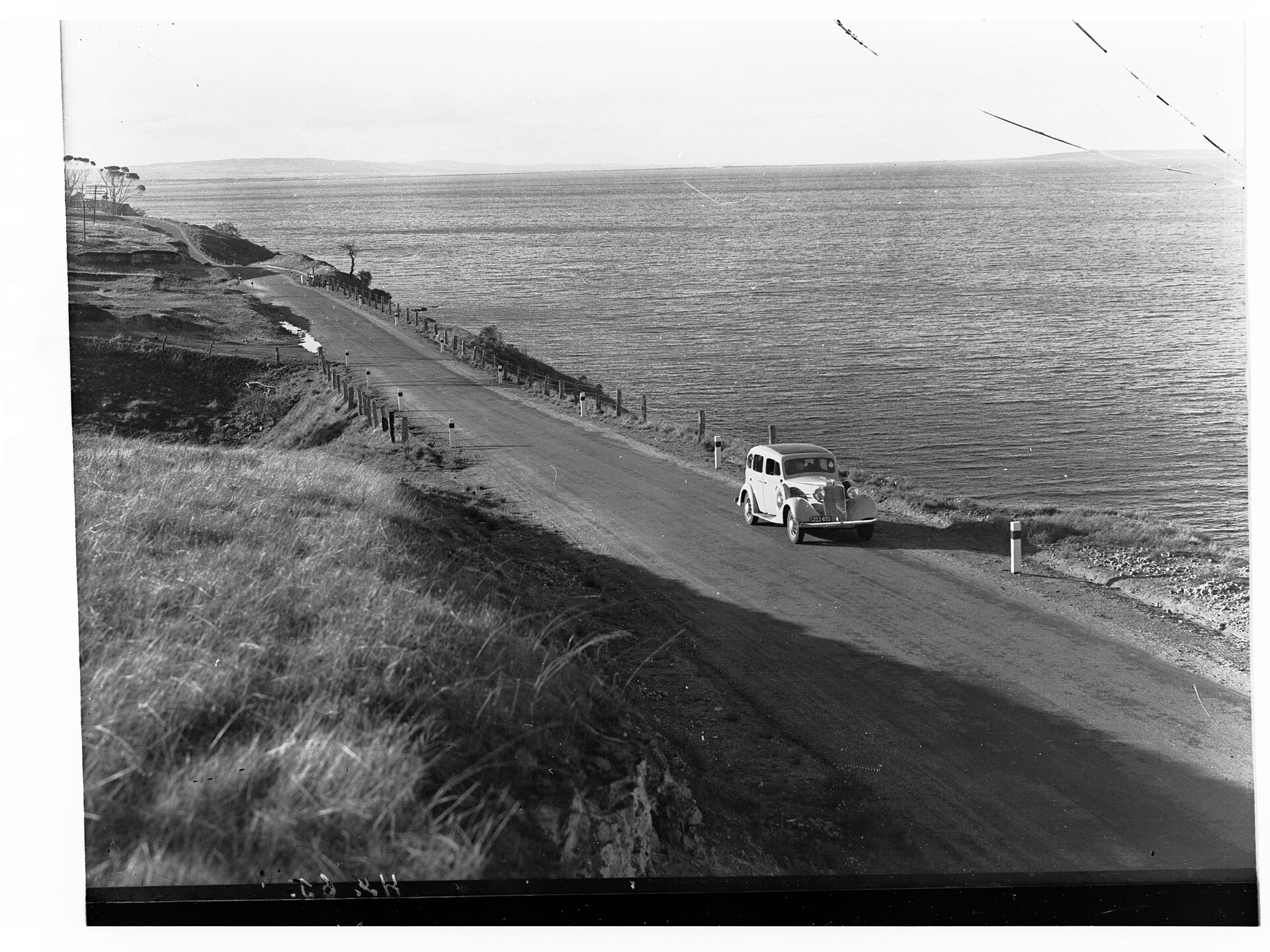
Most loops start on the east coast, on the Lincoln Highway. Cowell, on Franklin Harbour, is the first oyster town, also famous for its jade. Tumby Bay follows, with its long white jetty and its internationally renowned murals — pick up a map and walk the street-art trail.
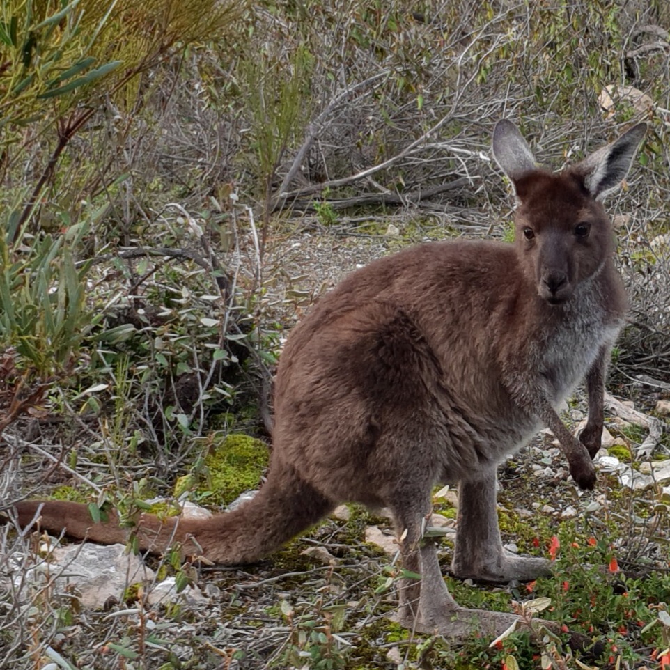
Then comes Port Lincoln, the largest town and the self-styled Seafood Capital of Australia, set on enormous Boston Bay. Use it as a base for a couple of days: tour Lincoln National Park, take the permit drive out to the granite cliffs of Whalers Way, find the wild koalas at Mikkira Station, and swim with tuna in a sea pen out on the bay.
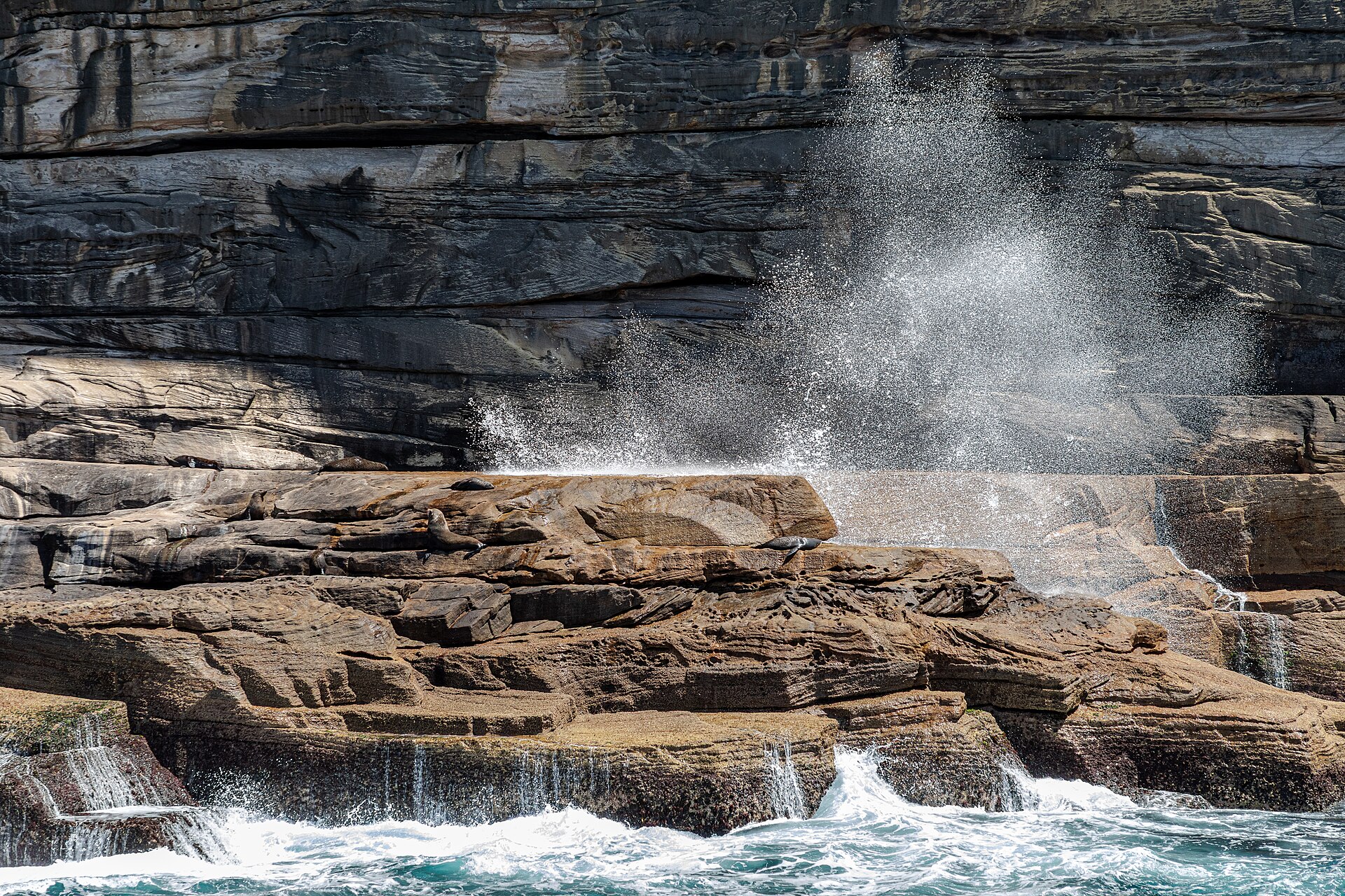
From Port Lincoln, detour to Coffin Bay for the oysters and the national park, then turn north up the west coast. This is the wild side: the surf and salmon at Locks Well, the clifftop sculpture drive at Elliston, the ancient pink granite of Murphy's Haystacks, the sea-lion colony at Point Labatt, and the sea caves at Talia.
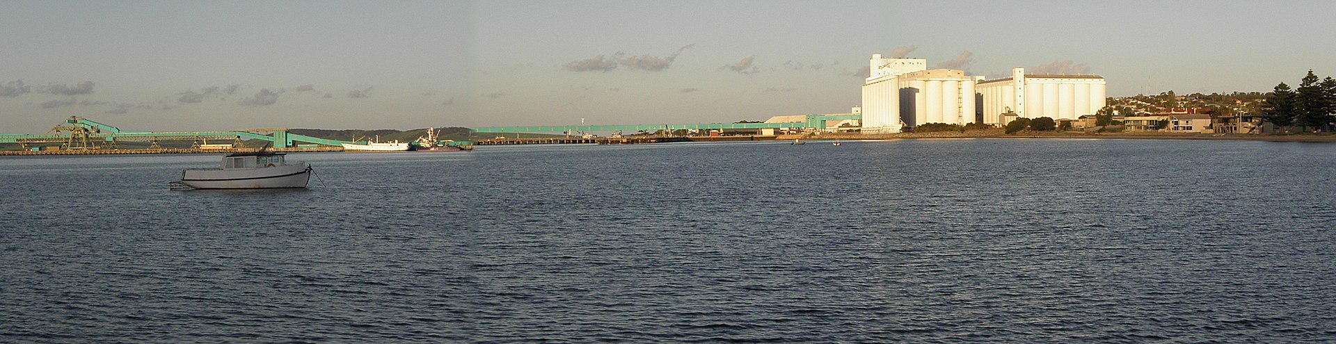
At Streaky Bay, base yourself again to explore Sceale Bay and, if you can get a booking, the unforgettable swim with sea lions at Baird Bay. Push on to the oyster towns of Smoky Bay and Ceduna, the threshold of the Nullarbor, before looping back inland through the wheat country around Cummins.
Key advice: book oyster tours and the Baird Bay swim well ahead, carry a permit for Whalers Way, and don't rush. The Eyre Peninsula rewards the traveller who lingers.